Health Canada Opens a Pathway for Drone Crop Spraying
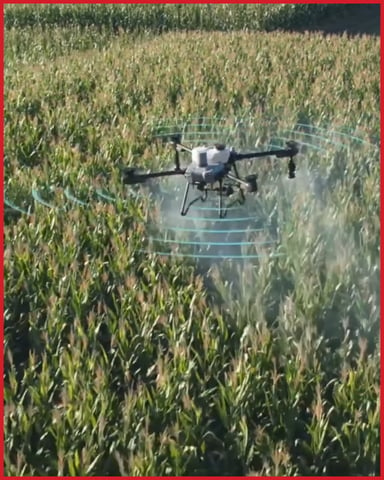
Here's what it actually means. You can now apply products already registered for aerial application by drone, following the product's existing aerial label (on an interim basis until the final policy is published)
The aerial label still governs rates, droplet size, and buffer zones. Mixing/loading and piloting must be two separate people.
Transport Canada RPAS rules and provincial licensing still apply.
This is a real opening for fields ground equipment can't reach but it rewards operators who run it like a precision application.
If you're weighing whether it fits your operation, contact our team today and we will walk you through it.
Wildfire season doesn't wait, and neither does a missing person search.
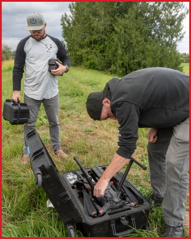
When a deployment is active, procurement isn't an option, but a rental is. Access a capable, field-ready platform without the capital commitment, the storage, or the maintenance overhead.
Whether you're supporting a SAR callout or covering ground during peak fire season, our rental fleet gives your team what it needs, when it needs it.
Andrew brings 18 years of geospatial and drone-based solutions experience across North America, combining commercial leadership with genuine technical depth.
Coty brings 18 years of delivering complex infrastructure and transportation projects across Canada, with roots in geomatics, remote sensing, and civil design.
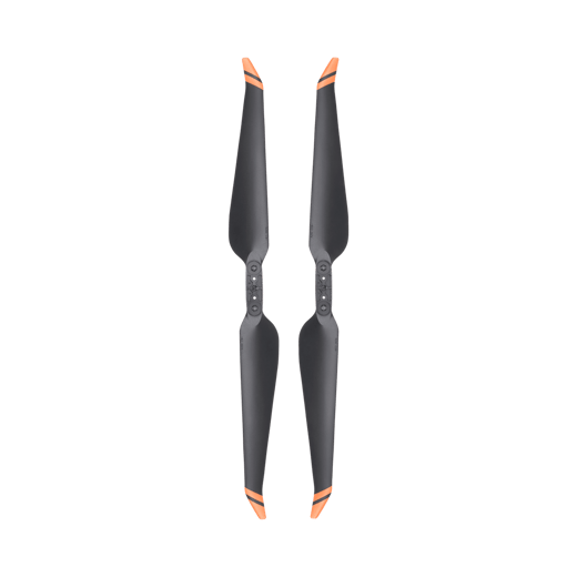
One damaged propeller can pull an entire mission. Whether it's a corridor inspection, a mapping run, or a site you only get one weather window for, a grounded aircraft costs more than the part itself.
The DJI 2110s propellers are the current standard for the Matrice 350 RTK and Matrice 300 RTK, with tighter quality control and improved reliability over the previous generation.
A few centimeters can be the difference between routine maintenance and a safety risk. See how accurate LiDAR data, the DJI Matrice 400, and the right training help municipalities make better infrastructure decisions with confidence.
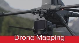
Lidar Drone Mapping on a 3,800-Hectare Palm Oil Estate
What if a survey that normally takes two weeks could be completed in just two days? See how LiDAR drone mapping is helping a 3,800-hectare palm oil estate uncover hidden terrain, optimize operations, and make faster, data-driven decisions across thousands of hectares.
Cindy Moore, BDE & Solutions Specialist at Candrone, brings years of experience in advanced UAV operations and LiDAR mapping for enterprise and public-sector clients. Cindy is recognized for bridging advanced drone and sensor technology with practical, mission-critical intelligence for customers across North America.